
A plan for a greater Adelaide
Published Monday, 17 March 2025
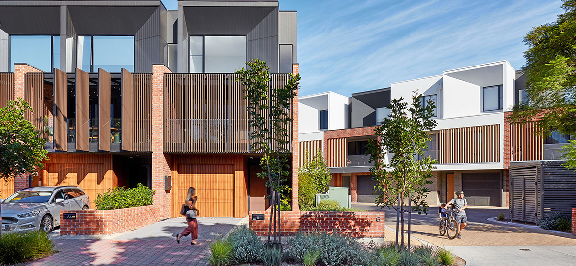
The South Australian Government has released its Greater Adelaide Regional Plan (the Plan) which identifies where 315,000 new homes will be built over the next 30 years and preserves important land for future infrastructure requirements.
Growing communities will be well-serviced as the Plan ensures enough land will be preserved for future hospitals, roads, public transport, schools, and emergency services. This avoids the need to acquire land in the future at a higher cost, saving taxpayers money.
By 2050, Greater Adelaide’s population is expected to grow by an additional 670,000 people, the Plan sets a clear direction for growth:
- The Plan identifies the location of 315,000 new homes for South Australians.
- It identifies space to create 254,000 additional jobs within Greater Adelaide.
- We are providing increased protection for 88 per cent of Greater Adelaide’s food production areas.
- It will create a new Northern Park Lands and ensures open space and sporting facilities are provided in new growth areas.
- The Plan aligns with the Urban Greening Strategy and targets an increase in tree canopy coverage to 30 per cent by 2055, ensuring a cooler and greener urban environment.
- The Plan aligns with key outcomes of South Australia’s Transport Strategy and the 20-Year State Infrastructure Strategy, ensuring more integrated planning, especially for new growth areas.
No new general infill development areas have been planned, and the Plan has removed the former objective in previous versions which targeted 85 per cent of future housing being infill projects.
A range of new strategic infill sites have been identified, with the planning of these locations to be led by the Department for Housing and Urban Development.
Areas identified for new homes are either already connected to infrastructure, have infrastructure commitments in place or are located in areas where future investment in infrastructure is planned.
There’s been two extensive rounds of community and targeted stakeholder engagement that have been completed, which has helped shape the finalised plan, with all government departments having input.
Spanning approximately 11,000 square kilometres from Cape Jervis to Murray Bridge, taking in the townships of the Barossa and the boundary of Port Wakefield, the Greater Adelaide region is currently home to around 1.5 million people, approximately 85 per cent of the state’s population.
The Plan is Australia’s first fully digital regional plan. This means it can be a live document and easily updated to respond to changing data, similar to the land supply dashboard.
View the Greater Adelaide Regional Plan
Further information
- Greater Adelaide Regional Plan Summary (PDF, 4.5 MB)
- Greater Adelaide Regional Plan Engagement Report (PDF, 4.6 MB)
- Greater Adelaide Regional Plan Engagement Report Summary (PDF, 488.3 KB)
- Greater Adelaide Regional Plan technical guide - version 2 (PDF, 2.9 MB)
- Frequently asked questions (PDF, 333.1 KB)
- Map of Environment and Food Production Areas